Claytor
A 74.8 MW hydroelectric power plant in Pulaski, Virginia, owned by Appalachian Power Co, commissioned in 1939.
Facility nameplate · EIA Plant ID 3774Hydroelectric
Nameplate capacity
74.8 MW
Primary fuel
Hydroelectric
Commissioned
1939
Owner
Location
Pulaski, Virginia
Coordinates
Generation (2024)
220.4 GWh
Status
Operating
Technology
Conventional Hydroelectric
Units
4
Location
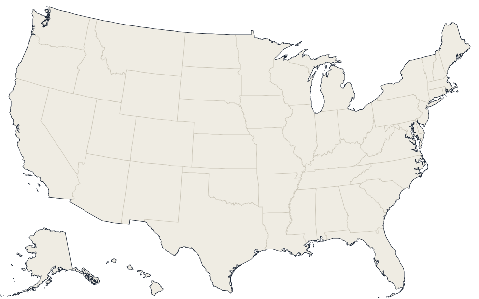
Pulaski, Virginia · 37.075, -80.5847
Reported annual generation
| Year | GWh | |
|---|---|---|
| 2015 | 229.7 | |
| 2016 | 210.3 | |
| 2017 | 176.4 | |
| 2018 | 304.5 | |
| 2019 | 283 | |
| 2020 | 361.3 | |
| 2021 | 234.6 | |
| 2022 | 212.2 | |
| 2023 | 197.8 | |
| 2024 | 220.4 |
Nearby power plants
| Plant | Fuel | Capacity | Distance |
|---|---|---|---|
| Radford | Hydroelectric | 1 MW | ~1 km |
| Radford Army Ammunition Plant | Natural Gas | 18 MW | ~12 km |
| New River | Waste | 5.4 MW | ~16 km |
| Virginia Tech Power Plant | Natural Gas | 6.3 MW | ~23 km |
| Celanese Acetate LLC | Natural Gas | 27.2 MW | ~34 km |
| Caden Energix Wytheville LLC | Solar | 20 MW | ~43 km |
See all hydroelectric plants in Virginia or browse all plants in Virginia.