Felt
A 7.4 MW hydroelectric power plant in Teton, Idaho, owned by Fall River Rural Elec Coop Inc, commissioned in 1946.
Facility nameplate · EIA Plant ID 6359Hydroelectric
Nameplate capacity
7.4 MW
Primary fuel
Hydroelectric
Commissioned
1946
Location
Teton, Idaho
Coordinates
Generation (2024)
27.8 GWh
Status
Operating
Technology
Conventional Hydroelectric
Units
4
Location
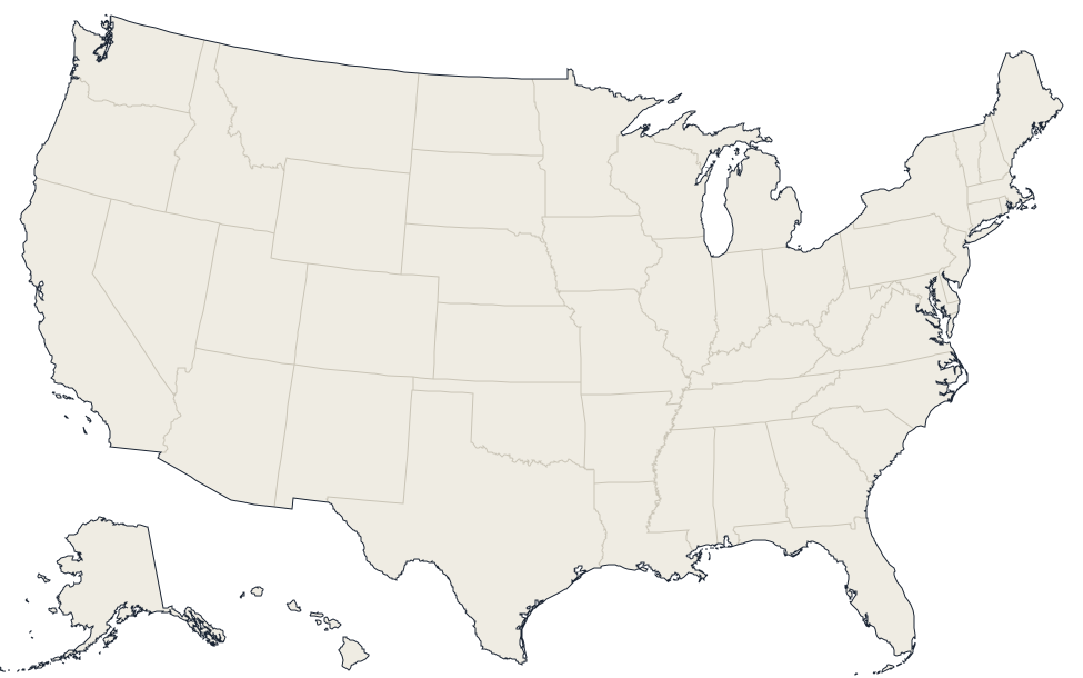
Teton, Idaho · 43.9135, -111.2833
Reported annual generation
| Year | GWh | |
|---|---|---|
| 2015 | 26.6 | |
| 2016 | 25.3 | |
| 2017 | 37.1 | |
| 2018 | 29.9 | |
| 2019 | 29.4 | |
| 2020 | 27.2 | |
| 2021 | 22.4 | |
| 2022 | 22 | |
| 2023 | 26.7 | |
| 2024 | 27.8 |
Nearby power plants
| Plant | Fuel | Capacity | Distance |
|---|---|---|---|
| Falls River Hydro | Hydroelectric | 9 MW | ~17 km |
| Ashton | Hydroelectric | 6.7 MW | ~25 km |
| Chester Diversion Hydroelectric Project | Hydroelectric | 3.6 MW | ~27 km |
| BYUI Central Energy Facility | Natural Gas | 5.6 MW | ~42 km |
| Island Park | Hydroelectric | 4.8 MW | ~57 km |
| Meadow Creek Project Company | Wind | 119.7 MW | ~60 km |
See all hydroelectric plants in Idaho or browse all plants in Idaho.