Fort Loudoun
A 153.3 MW hydroelectric power plant in Loudon, Tennessee, owned by Tennessee Valley Authority, commissioned in 1943.
Facility nameplate · EIA Plant ID 3402Hydroelectric
Nameplate capacity
153.3 MW
Primary fuel
Hydroelectric
Commissioned
1943
Location
Loudon, Tennessee
Coordinates
Generation (2024)
732.1 GWh
Status
Operating
Technology
Conventional Hydroelectric
Units
4
Location
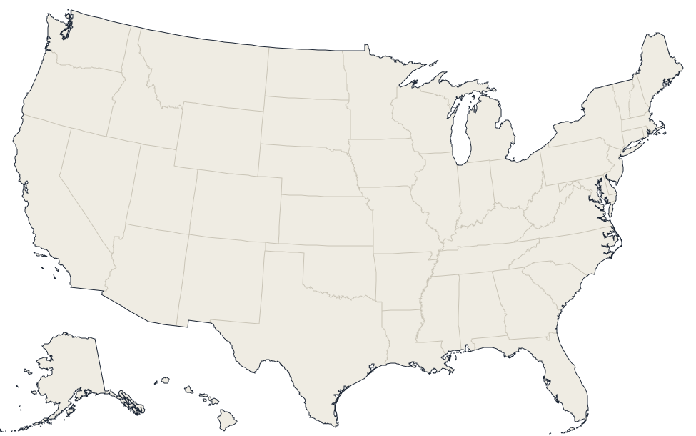
Loudon, Tennessee · 35.7917, -84.2431
Reported annual generation
| Year | GWh | |
|---|---|---|
| 2015 | 810.6 | |
| 2016 | 595.9 | |
| 2017 | 733.4 | |
| 2018 | 913.2 | |
| 2019 | 932.1 | |
| 2020 | 1,264.5 | |
| 2021 | 940.4 | |
| 2022 | 778.7 | |
| 2023 | 676.5 | |
| 2024 | 732.1 |
Nearby power plants
| Plant | Fuel | Capacity | Distance |
|---|---|---|---|
| Primient Loudon Plant | Natural Gas | 61.4 MW | ~9 km |
| Melton Hill | Hydroelectric | 72 MW | ~12 km |
| Kingston | Coal | 1.70 GW | ~28 km |
| Chilhowee | Hydroelectric | 49.8 MW | ~32 km |
| University of Tennessee Steam Plant | Natural Gas | 5 MW | ~33 km |
| Buffalo Mountain | Wind | 1.8 MW | ~38 km |
See all hydroelectric plants in Tennessee or browse all plants in Tennessee.