Lost Nation
A 18 MW oil power plant in Coos, New Hampshire, owned by Granite Shore Power, commissioned in 1969.
Facility nameplate · EIA Plant ID 2362Oil
Nameplate capacity
18 MW
Primary fuel
Oil
Commissioned
1969
Owner
Location
Coos, New Hampshire
Coordinates
Generation (2024)
0.4 GWh
Status
Operating
Technology
Petroleum Liquids
Units
1
Location
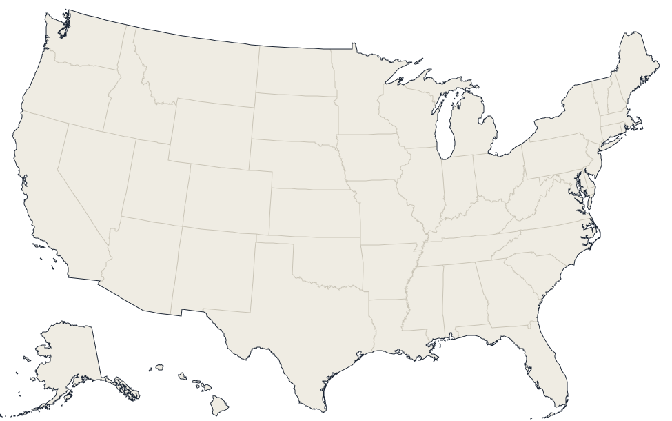
Coos, New Hampshire · 44.5951, -71.4944
Reported annual generation
| Year | GWh | |
|---|---|---|
| 2015 | 0.4 | |
| 2016 | 0.7 | |
| 2017 | 0.5 | |
| 2018 | 0.3 | |
| 2019 | 0.2 | |
| 2020 | 0.5 | |
| 2021 | 0.2 | |
| 2022 | 0.3 | |
| 2023 | 0.4 | |
| 2024 | 0.4 |
Nearby power plants
| Plant | Fuel | Capacity | Distance |
|---|---|---|---|
| Pontook Hydro Facility | Hydroelectric | 10.5 MW | ~20 km |
| Granite Reliable Power | Wind | 99 MW | ~20 km |
| Jericho Power | Wind | 14.3 MW | ~26 km |
| GSPP Gilman, LLC | Solar | 2.1 MW | ~27 km |
| NE Renewable Whitefield, LLC | Biomass | 19.9 MW | ~27 km |
| Gilman Mill | Hydroelectric | 4.8 MW | ~27 km |
See all oil plants in New Hampshire or browse all plants in New Hampshire.