Marble Falls
A 39.6 MW hydroelectric power plant in Burnet, Texas, owned by Lower Colorado River Authority, commissioned in 1951.
Facility nameplate · EIA Plant ID 3599Hydroelectric
Nameplate capacity
39.6 MW
Primary fuel
Hydroelectric
Commissioned
1951
Location
Burnet, Texas
Coordinates
Generation (2024)
15.2 GWh
Status
Operating
Technology
Conventional Hydroelectric
Units
2
Location
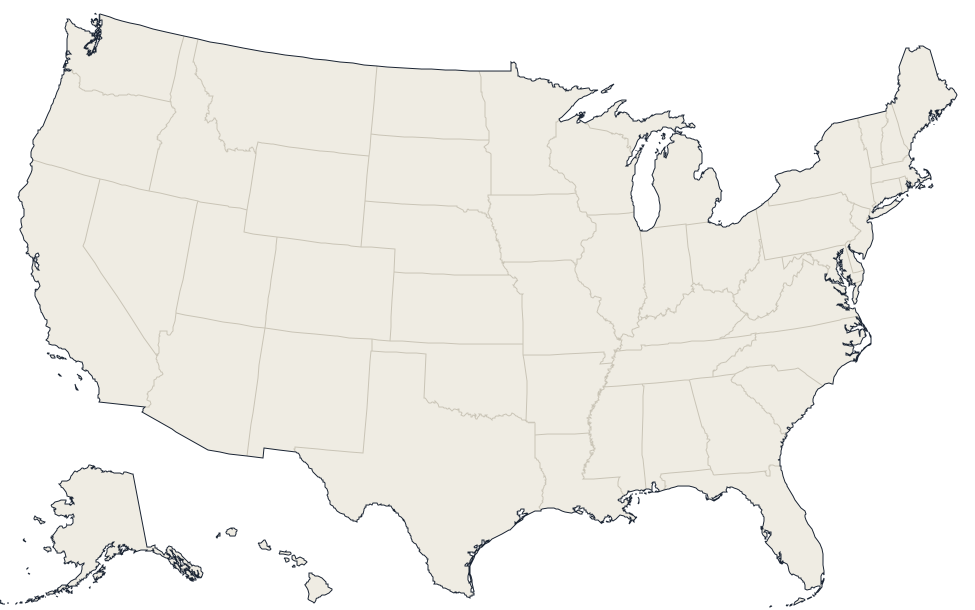
Burnet, Texas · 30.5553, -98.2576
Reported annual generation
| Year | GWh | |
|---|---|---|
| 2015 | 13.8 | |
| 2016 | 35 | |
| 2017 | 14.3 | |
| 2018 | 16.6 | |
| 2019 | 21.2 | |
| 2020 | 13.7 | |
| 2021 | 11.3 | |
| 2022 | 10.1 | |
| 2023 | 10.2 | |
| 2024 | 15.2 |
Nearby power plants
| Plant | Fuel | Capacity | Distance |
|---|---|---|---|
| Granite Shoals | Hydroelectric | 54 MW | ~8 km |
| Thomas C Ferguson | Natural Gas | 574.6 MW | ~11 km |
| Inks | Hydroelectric | 15 MW | ~23 km |
| Buchanan Dam (TX) | Hydroelectric | 54.9 MW | ~27 km |
| Marshall Ford | Hydroelectric | 108 MW | ~38 km |
| North Fork TX | Storage | 100 MW | ~42 km |
See all hydroelectric plants in Texas or browse all plants in Texas.