Mt Storm
A 1.68 GW coal power plant in Grant, West Virginia, owned by Virginia Electric & Power Co, commissioned in 1965.
Facility nameplate · EIA Plant ID 3954Coal
Nameplate capacity
1.68 GW
Primary fuel
Coal
Commissioned
1965
Location
Grant, West Virginia
Coordinates
Generation (2024)
4,160 GWh
Other fuels
Oil
Status
Operating
Technology
Conventional Steam Coal
Units
4
Location
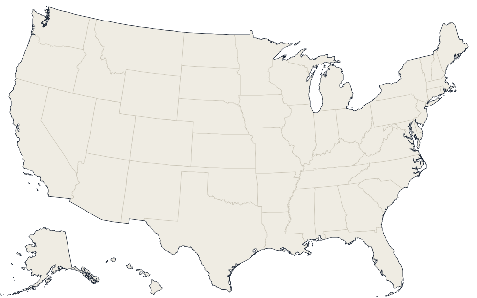
Grant, West Virginia · 39.2008, -79.2636
Reported annual generation
| Year | GWh | |
|---|---|---|
| 2015 | 9,846.2 | |
| 2016 | 9,026.4 | |
| 2017 | 6,997.5 | |
| 2018 | 5,528.9 | |
| 2019 | 4,533.1 | |
| 2020 | 4,714.2 | |
| 2021 | 5,508.7 | |
| 2022 | 4,644.2 | |
| 2023 | 3,519.3 | |
| 2024 | 4,160 |
Nearby power plants
| Plant | Fuel | Capacity | Distance |
|---|---|---|---|
| NedPower Mount Storm | Wind | 264 MW | ~5 km |
| New Creek Wind | Wind | 103 MW | ~11 km |
| Roth Rock North Wind Farm, LLC | Wind | 10 MW | ~18 km |
| Roth Rock Wind Farm LLC | Wind | 40 MW | ~18 km |
| MD CDG 001 | Solar | 2 MW | ~22 km |
| Fair Wind | Wind | 30 MW | ~23 km |
See all coal plants in West Virginia or browse all plants in West Virginia.