Municipal Light
A 7.2 MW oil power plant in Clay, Arkansas, owned by City of Piggott - (AR), commissioned in 1952.
Facility nameplate · EIA Plant ID 193Oil
Nameplate capacity
7.2 MW
Primary fuel
Oil
Commissioned
1952
Owner
City of Piggott - (AR)
Location
Clay, Arkansas
Coordinates
Generation (2024)
0 GWh
Status
Operating
Technology
Petroleum Liquids
Units
5
Location
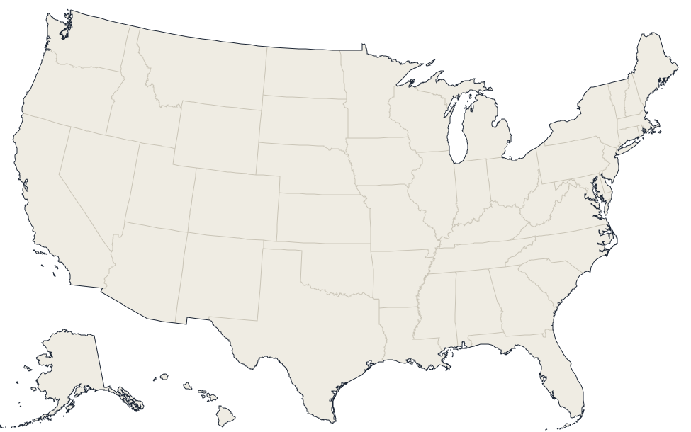
Clay, Arkansas · 36.3858, -90.1867
Reported annual generation
| Year | GWh | |
|---|---|---|
| 2015 | 0 | |
| 2016 | 0 | |
| 2017 | 0 | |
| 2018 | 0 | |
| 2019 | 0 | |
| 2020 | 0 | |
| 2021 | 0.1 | |
| 2022 | 0 | |
| 2023 | 0 | |
| 2024 | 0 |
Nearby power plants
| Plant | Fuel | Capacity | Distance |
|---|---|---|---|
| Kennett | Oil | 31.4 MW | ~21 km |
| St Francis Energy Facility | Natural Gas | 506.6 MW | ~22 km |
| Malden | Oil | 15.9 MW | ~27 km |
| Clay County Electrical Cooperative | Solar | 1 MW | ~41 km |
| Poplar Bluff Generating Station | Natural Gas | 34.1 MW | ~45 km |
| Paragould Solar Farm | Solar | 1.5 MW | ~48 km |
See all oil plants in Arkansas or browse all plants in Arkansas.