Olmsted Waste Energy
A 11.3 MW waste power plant in Olmsted, Minnesota, owned by Olmsted County Public Works, commissioned in 1987.
Facility nameplate · EIA Plant ID 50413Waste
Nameplate capacity
11.3 MW
Primary fuel
Waste
Commissioned
1987
Owner
Olmsted County Public Works
Location
Olmsted, Minnesota
Coordinates
Generation (2024)
46.7 GWh
Other fuels
Oil
Status
Operating
Technology
Municipal Solid Waste
Units
4
Location
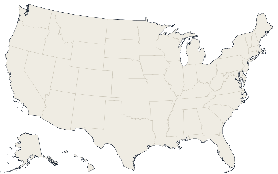
Olmsted, Minnesota · 44.0261, -92.4323
Reported annual generation
| Year | GWh | |
|---|---|---|
| 2015 | 32.4 | |
| 2016 | 32.6 | |
| 2017 | 33.3 | |
| 2018 | 33.3 | |
| 2019 | 32.2 | |
| 2020 | 30.6 | |
| 2021 | 35.9 | |
| 2022 | 40.1 | |
| 2023 | 39.5 | |
| 2024 | 46.7 |
Nearby power plants
| Plant | Fuel | Capacity | Distance |
|---|---|---|---|
| Franklin Heating Station | Oil | 34 MW | ~3 km |
| Cascade Creek | Natural Gas | 84.9 MW | ~5 km |
| Water Reclamation Plant | Biomass | 2 MW | ~5 km |
| IBM West | Oil | 3.6 MW | ~7 km |
| 4710 Hosting | Oil | 7.5 MW | ~9 km |
| Saint Marys Hospital Power Plant | Oil | 16.3 MW | ~9 km |
See all waste plants in Minnesota or browse all plants in Minnesota.