Wisner
A 3.8 MW oil power plant in Cuming, Nebraska, owned by City of Wisner, commissioned in 1969.
Facility nameplate · EIA Plant ID 2316Oil
Nameplate capacity
3.8 MW
Primary fuel
Oil
Commissioned
1969
Owner
City of Wisner
Location
Cuming, Nebraska
Coordinates
Generation (2024)
0.1 GWh
Status
Operating
Technology
Petroleum Liquids
Units
3
Location
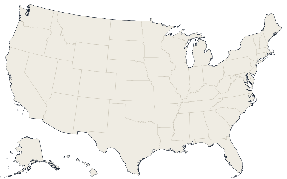
Cuming, Nebraska · 41.9881, -96.916
Reported annual generation
| Year | GWh | |
|---|---|---|
| 2015 | 0 | |
| 2016 | 0 | |
| 2017 | 0 | |
| 2018 | 0 | |
| 2019 | 0 | |
| 2020 | 0 | |
| 2021 | 0.2 | |
| 2022 | 0 | |
| 2023 | 0.1 | |
| 2024 | 0.1 |
Nearby power plants
| Plant | Fuel | Capacity | Distance |
|---|---|---|---|
| Cuming County Renewables, LLC | Wind | 2.5 MW | ~6 km |
| Pender | Oil | 4.9 MW | ~22 km |
| West Point Municipal | Natural Gas | 4.4 MW | ~23 km |
| Wayne IC | Oil | 21.8 MW | ~28 km |
| Plum Creek Wind Project (NE) | Wind | 230 MW | ~31 km |
| Wakefield | Oil | 4.1 MW | ~32 km |
See all oil plants in Nebraska or browse all plants in Nebraska.