La Plata
A 3.6 MW oil power plant in Macon, Missouri, owned by City of La Plata - (MO), commissioned in 2013.
Facility nameplate · EIA Plant ID 2140Oil
Nameplate capacity
3.6 MW
Primary fuel
Oil
Commissioned
2013
Owner
City of La Plata - (MO)
Location
Macon, Missouri
Coordinates
Generation (2024)
0 GWh
Status
Operating
Technology
Petroleum Liquids
Units
2
Location
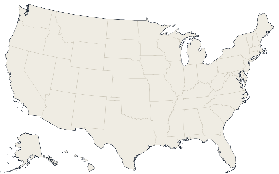
Macon, Missouri · 40.0244, -92.4896
Reported annual generation
| Year | GWh | |
|---|---|---|
| 2015 | 0 | |
| 2016 | 0 | |
| 2017 | 0 | |
| 2018 | 0 | |
| 2019 | 0 | |
| 2020 | 0 | |
| 2021 | 0 | |
| 2022 | 0 | |
| 2023 | 0 | |
| 2024 | 0 |
Nearby power plants
| Plant | Fuel | Capacity | Distance |
|---|---|---|---|
| Macon Solar Power Project | Solar | 2.8 MW | ~29 km |
| Macon Energy Center | Natural Gas | 10 MW | ~32 km |
| Macon | Oil | 1 MW | ~32 km |
| High Prairie Wind Farm | Wind | 400 MW | ~42 km |
| Marceline | Oil | 8 MW | ~52 km |
| Shelbina Power #3 | Oil | 3.6 MW | ~52 km |
See all oil plants in Missouri or browse all plants in Missouri.